Current filter:
Published: 19 June 2023
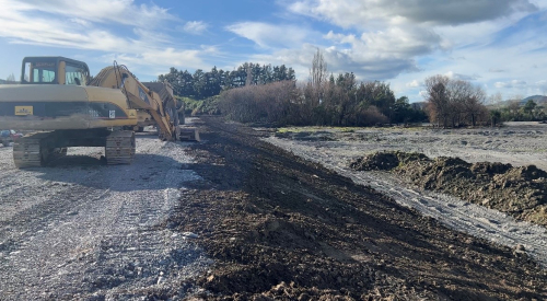
The Hawke’s Bay Regional Council wants to reassure the community that the region’s flood protection network is holding up and forecast rain isn’t expected to cause any significant flooding.
As at 8.36am on Monday 19 June, Metservice has downgraded the Orange heavy rain warning to a heavy rain watch for Hawke's Bay, south of Te Pohue. There is a heavy rain warning for the Wairoa district, northeast of Nuhaka.
Asset Group Manager Chris Dolley says: “We don’t expect this to cause any significant issues, yet will monitor and maintain our operational readiness over the next two days.”
In Wairoa, the river is expected to rise by one metre, with no major issues. On the Heretaunga Plains, there is an expected increase in river flows and drainage systems, with some ponding of water.
The Tutaekuri and Ngaruroro rivers may reach five-year levels by this evening, which is generally the bottom of the stopbank, he says.
The Waipawa and Tukituki rivers will reach at least annual flow and may reach five-year levels – the bottom of the stopbank - by this evening, with ponding and slips.
“We continue to monitor the Waipawa River at Waipawa closely and have local eyes on the ground and staff available on the very remote chance that we experience increased rain and river levels,” says Mr Dolley.
People can monitor river levels at lawa.org.nz.
Catchment summary
Wairoa
Additional 30-70 mm rain overnight and continuing until late Monday.
River levels might rise by one metre or so at Railway bridge. Levels expected to stay below alert level.
Esk/Tangoio/Waipatiki
Another 30-80 mm overnight and into Monday morning. Easing by Monday night.
Expect minor rises in rivers.
Heretaunga Plains
Additional 90-120 mm rain in several bursts Monday morning and around noon.
Likely to cause local ponding and increased flows in drainage system.
Ngaruroro/Tutaekuri/Mangaone
Additional 50 to 120 mm with several hours of heavy rain at greater than 10 mm/hr starting Monday morning.
This could cause Ngaruroro to reach five year levels, with the flow covering the berm out to the stopbank toe.
Mangaone and Tutaekuri are also expected to go above mean annual flow and possibly five-year levels by late afternoon Monday.
CHB
Additional 100-140 mm rainfall, with some persistent falls in the ranges.
This is likely to cause the main Tukituki catchment rivers to rise to at least mean annual (main channel full) and possibly up to five year (bank to bank at toe of stopbanks).
Timing of the rise will likely be Monday during the day, and carry on for several hours into the evening.
Widespread rain over the whole catchment will likely cause localised ponding and slips.
+64 6 835 9200
159 Dalton Street. Napier 4110
Private Bag 6006, Napier 4142
Disclaimers, Copyright & Privacy
![]()
Disclaimers and Copyright
While every endeavour has been taken by the Hawke's Bay Regional Council to ensure that the information on this website is
accurate and up to date, Hawke's Bay Regional Council shall not be liable for any loss suffered through the use, directly or indirectly, of information on this website. Information contained has been assembled in good faith.
Some of the information available in this site is from the New Zealand Public domain and supplied by relevant
government agencies. Hawke's Bay Regional Council cannot accept any liability for its accuracy or content.
Portions of the information and material on this site, including data, pages, documents, online
graphics and images are protected by copyright, unless specifically notified to the contrary. Externally sourced
information or material is copyright to the respective provider.
© Hawke's Bay Regional Council - www.hbrc.govt.nz / +64 6 835 9200 / info@hbrc.govt.nz