Current filter:
Published: 23 August 2023
The Hawke’s Bay Regional Council is focused on developing flood resilience options where possible for communities in Category 2.
Regional Council Asset Management Group Manager Chris Dolley says Regional Council have already released eight Category 2C areas to Category 1 across the region.
“We are working hard to release Category 2C areas where possible to Category 1, so people can move on with their lives. This has happened in areas where our stopbank repairs mean that the area is back to a pre-cyclone 1 in 100 year protection level.”
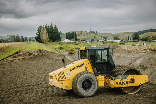
The Regional Council have set up engineering teams to engage with impacted communities in land categorisations across the region, to identify flood mitigation options.
“For those properties in Category 2A, we are investigating community level mitigation solutions to move them to 2C, and then, where possible, to transition to Category 1,” says Mr Dolley.
“For properties in Category 2P, where there is no community flood mitigation option but may be mitigations that can be undertaken at the individual property level, we are supporting local councils and property owners to identify and assess solutions.”
Five engineering teams have been set up with a lead engineering consultant across the region:
To build an understanding of what took place in each community, the engineering teams are seeking information from each of the impacted communities, some of whom, have lived in these areas for decades, he said. For example, in Pōrangahau, the engineering team is going for a river walk with the community on 25 August.
The best way for people to give feedback is through their local council’s community connectors or community hui, he said.
Alongside the community feedback, the teams will review categorisation maps, historical data including flood history, analyse high resolution aerial photography, photos and videos from Cyclone Gabrielle, and building inspections taken during and immediately after the event.
From these a preferred solution will be chosen, and concept designs created along with costings, to identify any potential issues or pitfalls such as land access or consents.
A flood mitigation solution will be designed and built, if it meets the following criteria– an agreed sound concept that has a consenting pathway, for a legal interest in the land required to deliver the solution, and access to funding.
The engineering teams will refine flood mitigation options and designs through August and September.
+64 6 835 9200
159 Dalton Street. Napier 4110
Private Bag 6006, Napier 4142
Disclaimers, Copyright & Privacy
![]()
Disclaimers and Copyright
While every endeavour has been taken by the Hawke's Bay Regional Council to ensure that the information on this website is
accurate and up to date, Hawke's Bay Regional Council shall not be liable for any loss suffered through the use, directly or indirectly, of information on this website. Information contained has been assembled in good faith.
Some of the information available in this site is from the New Zealand Public domain and supplied by relevant
government agencies. Hawke's Bay Regional Council cannot accept any liability for its accuracy or content.
Portions of the information and material on this site, including data, pages, documents, online
graphics and images are protected by copyright, unless specifically notified to the contrary. Externally sourced
information or material is copyright to the respective provider.
© Hawke's Bay Regional Council - www.hbrc.govt.nz / +64 6 835 9200 / info@hbrc.govt.nz